 01
IGAD Groundwater for Resilience Project (GW4R)

Biyosahan HydroTech Solutions is a Somalia-based professional consulting firm specializing in groundwater modeling, flood and drought risk assessment, GIS analysis, and technical capacity building, delivering science-based solutions for governments, municipalities, NGOs, universities, and the private sector.
Biyosahan is a Somalia-based professional consulting firm specializing in water resources science, hydrogeological modeling, climate risk assessment, and technical capacity building. We combine scientific expertise with deep regional knowledge to deliver practical, high-impact solutions tailored to the East African context.
To be the Horn of Africa’s most trusted hydro-technology and water-resources consultancy.
Science-driven water, GIS and environmental solutions that reduce risk and strengthen local capacity.
Internationally recognized hydrogeological methods, delivered by a team that knows Somalia and the Horn of Africa.
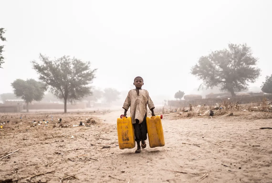
Pumping tests, monitoring, modeling, GIS and reports all come from one team, so nothing gets lost between steps.
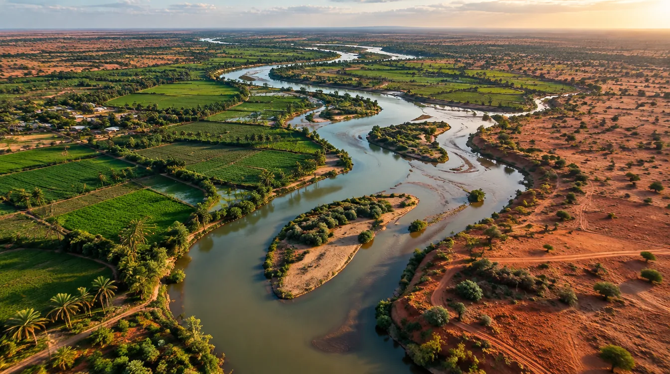
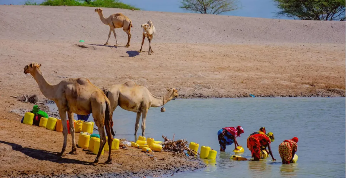
Based in Mogadishu, with work on the Juba and Shabelle basins, coastal aquifers, and water for pastoralist and farming communities.
MODFLOW 6, PEST, GW Vistas, ModelMuse, QGIS and Python. Recognized methods your engineers can review and reuse.
Hands-on courses from pumping tests to model calibration, so your people can run the work after we finish.
Water resources consulting, hydrogeological modeling, climate resilience and technical capacity building — Horn of Africa & beyond.
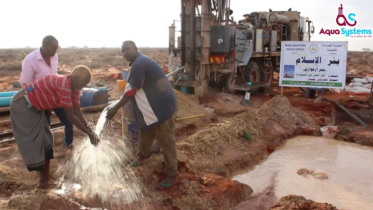
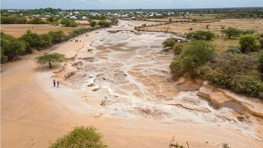
Drought forecasting, vulnerability mapping and water-harvesting solutions that secure water resources for the long term.

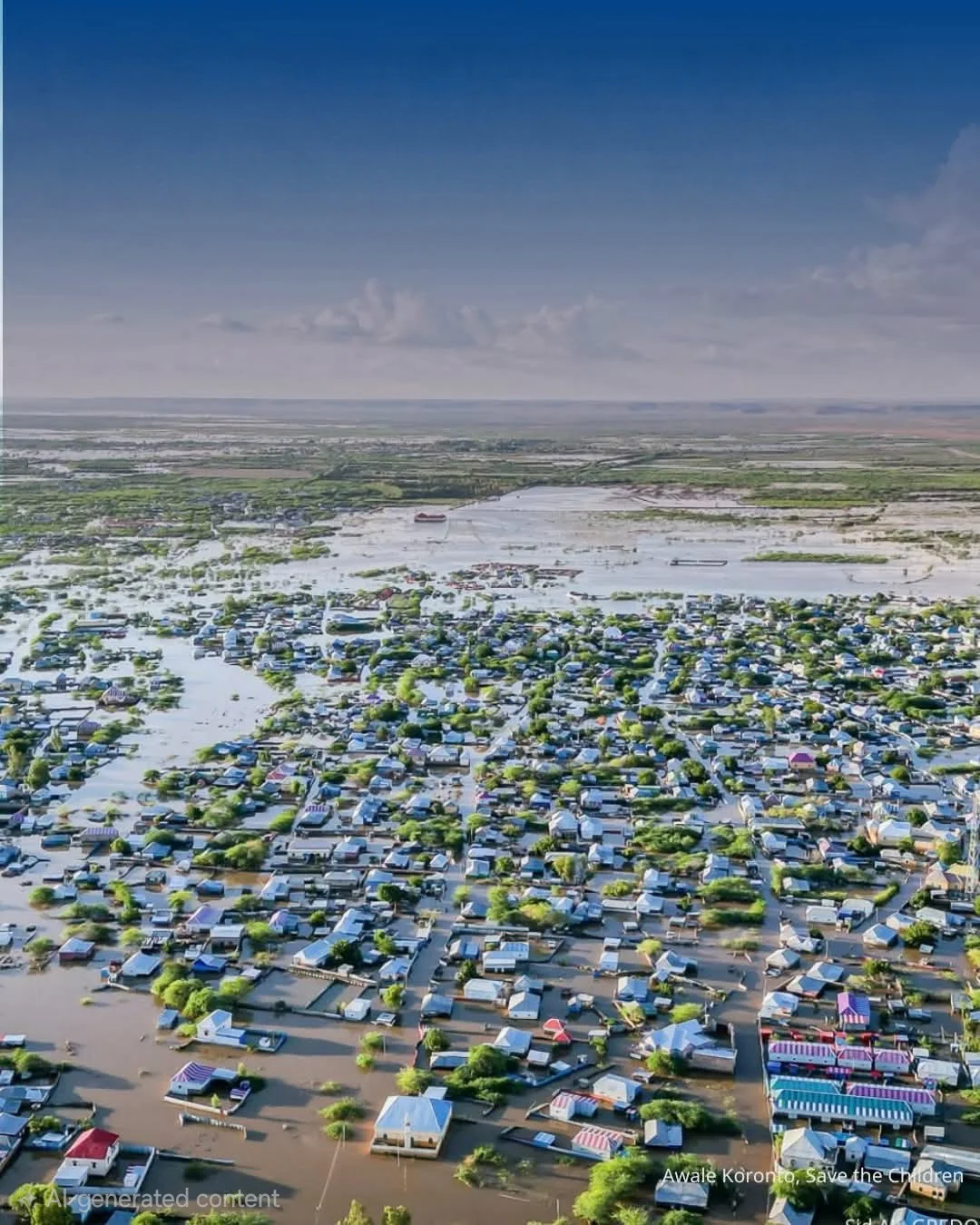
Hydrological modeling and hazard mapping for early warning systems and evacuation plans that protect lives and infrastructure.
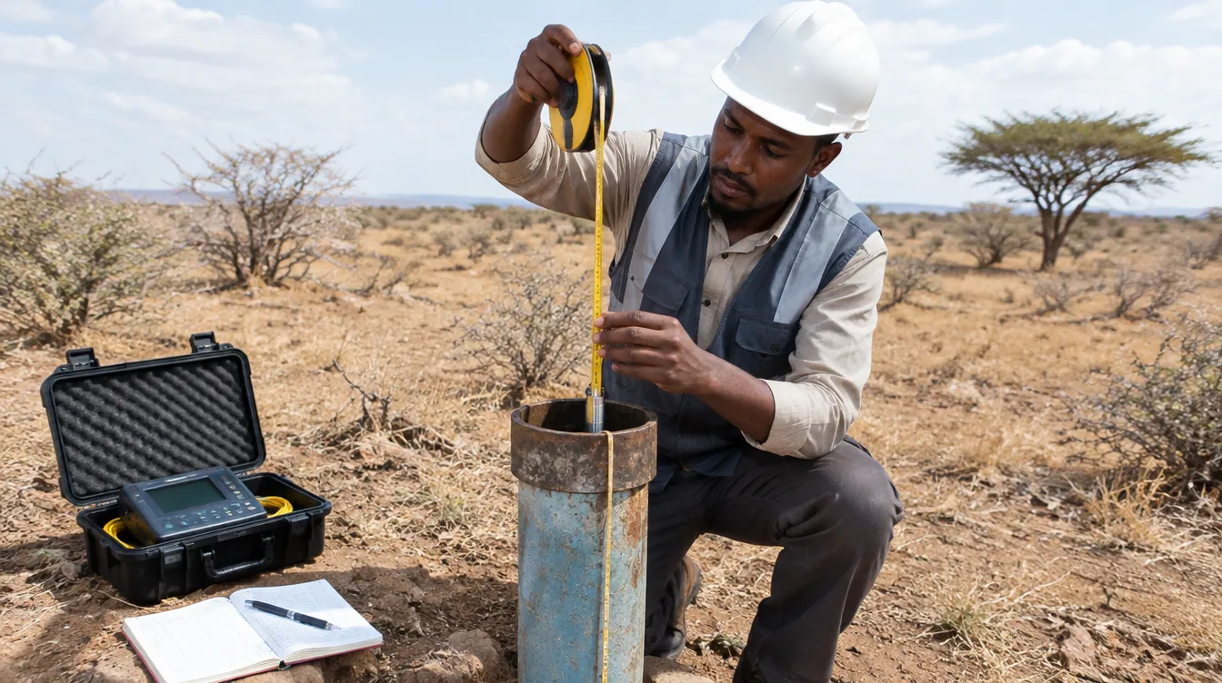
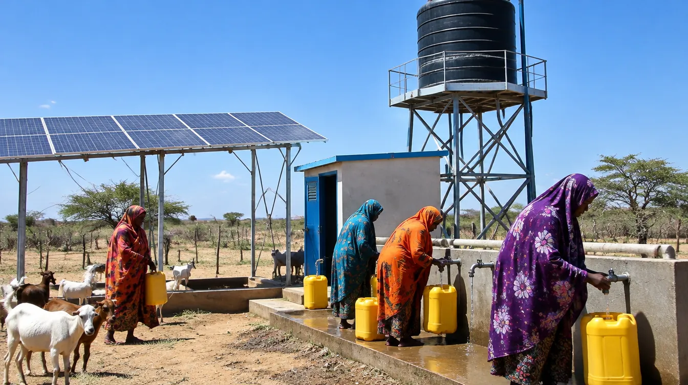
Monitoring networks, water-quality data management and hydrogeological databases for WASH water sources.
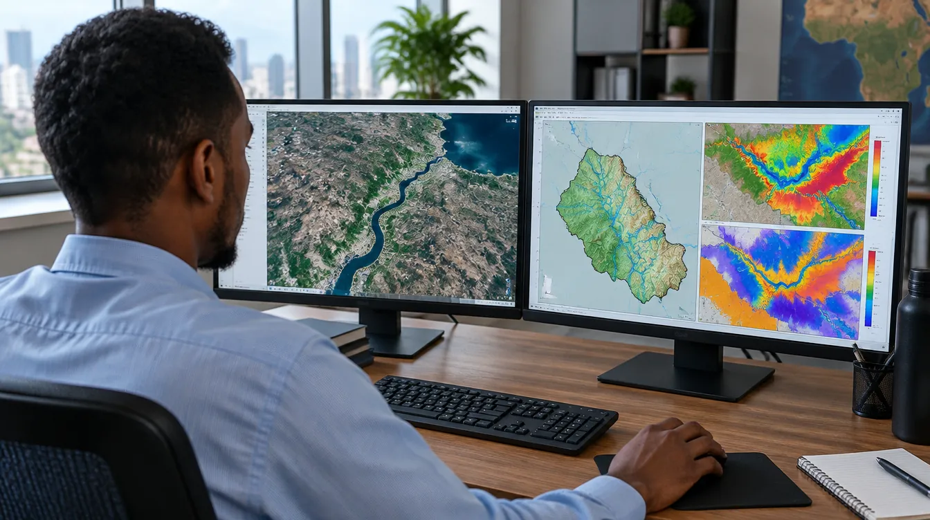
Hydrogeological mapping, satellite imagery analysis and geodatabase design for resource planning and irrigation.
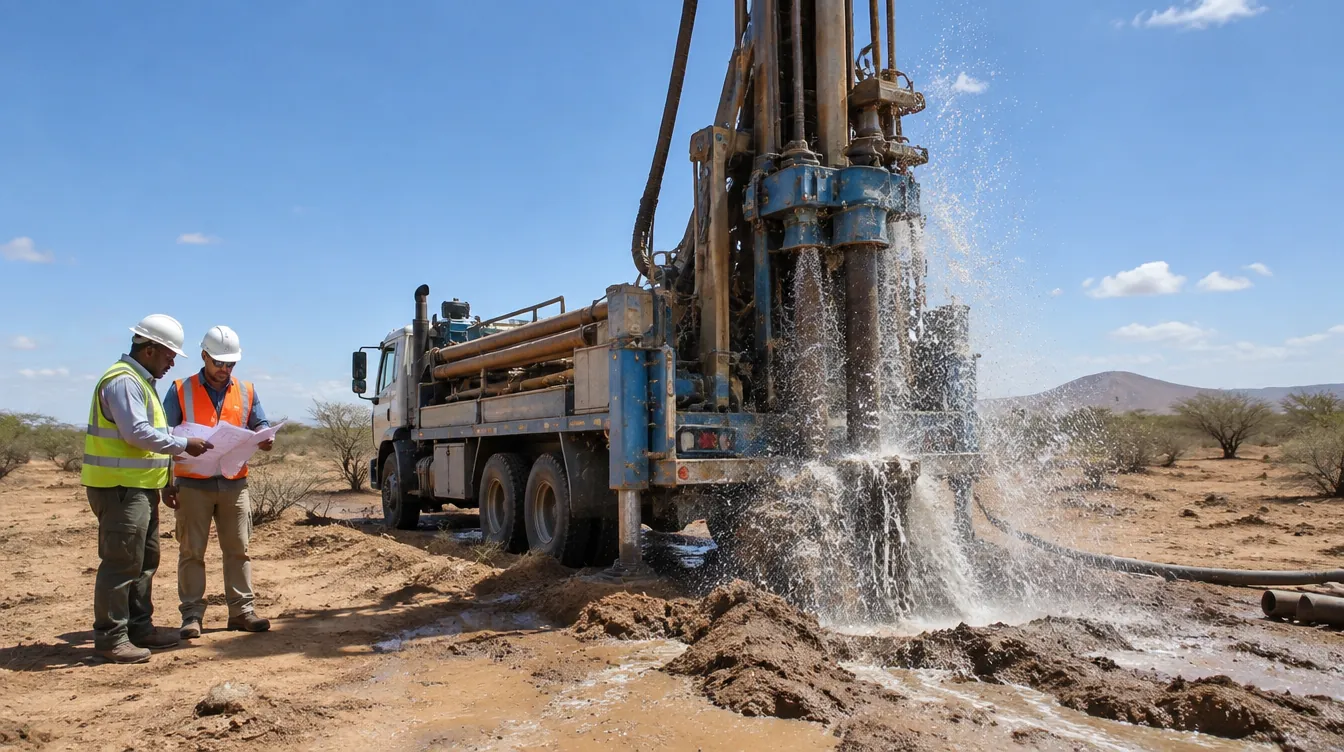
Feasibility studies, proposals, ToR preparation, project design and technical supervision with M&E frameworks.

Specialized training in groundwater modeling, water resources management and climate resilience.

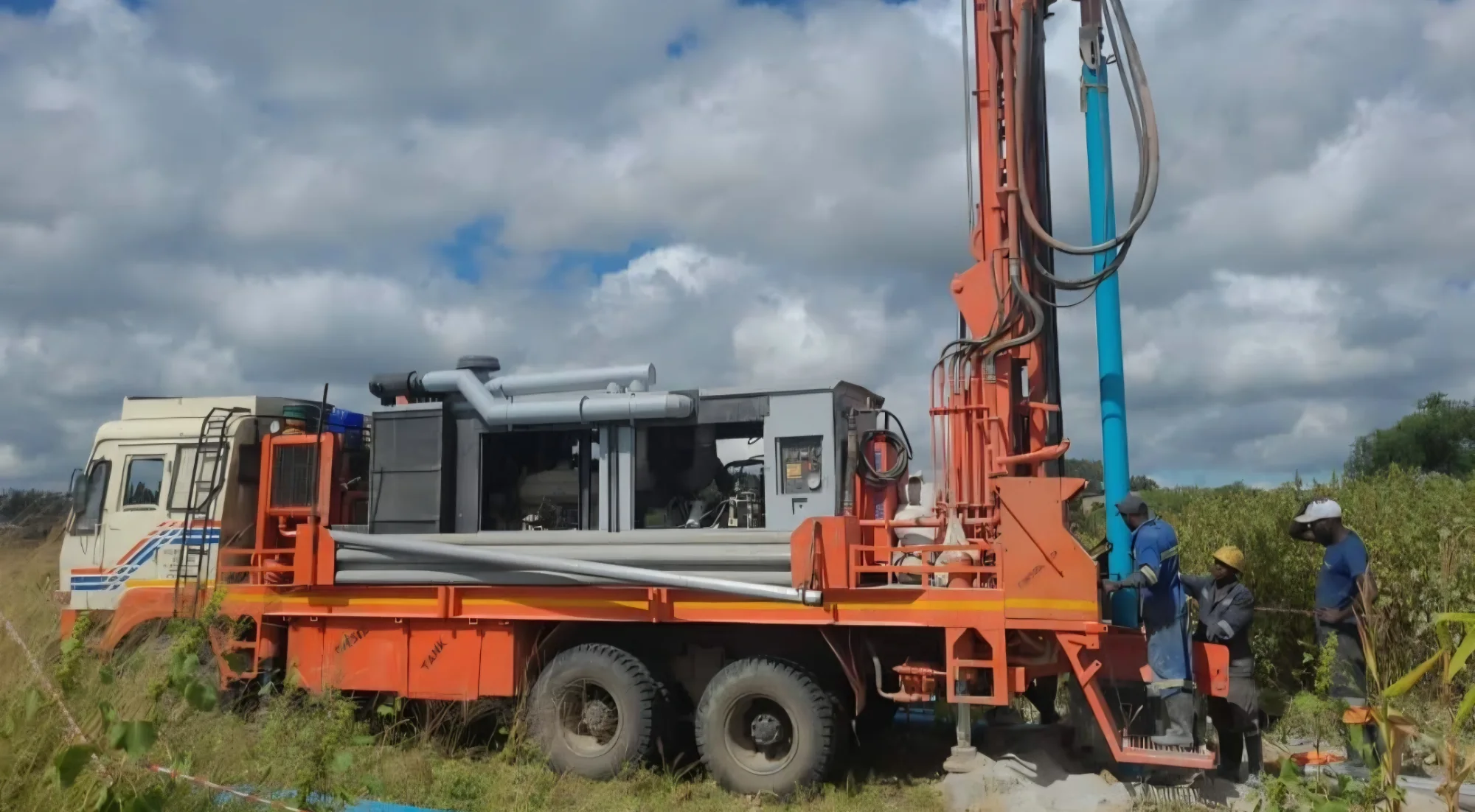
We support modern engineering workflows using professional and open-source modeling platforms.
We understand the problem, data availability and expected outputs.
We build scientific models, maps and simulations using suitable tools.
We review data quality, calibrate results and document assumptions.
We deliver reports, dashboards, training and decision-ready outputs.
Flexible project templates for water resources, engineering and environmental decision support.
01 02
 03
 04
Focused studies in hydrology, hydraulics, GIS and environmental modeling for planning and investment decisions.
Scenario design, boundary conditions, calibration to observations and sensitivity analysis.
Flood depth, inundation extent, dam-break and drought exposure mapping for planning.
Technical memos, map books, dashboards and training for your teams.
Technical insights and updates on water resources, climate resilience, and environmental developments across Somalia and the Horn of Africa.
 Water sector updates
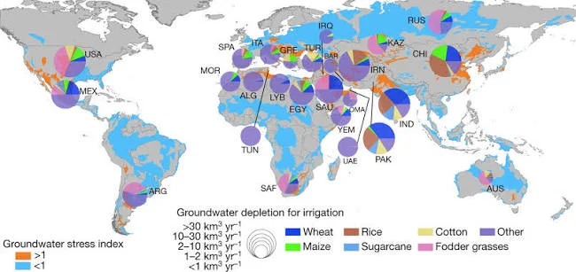
A UNU-INWEH report (October 2026) found that groundwater depletion and irrigation tend to concentrate near international borders in shared…
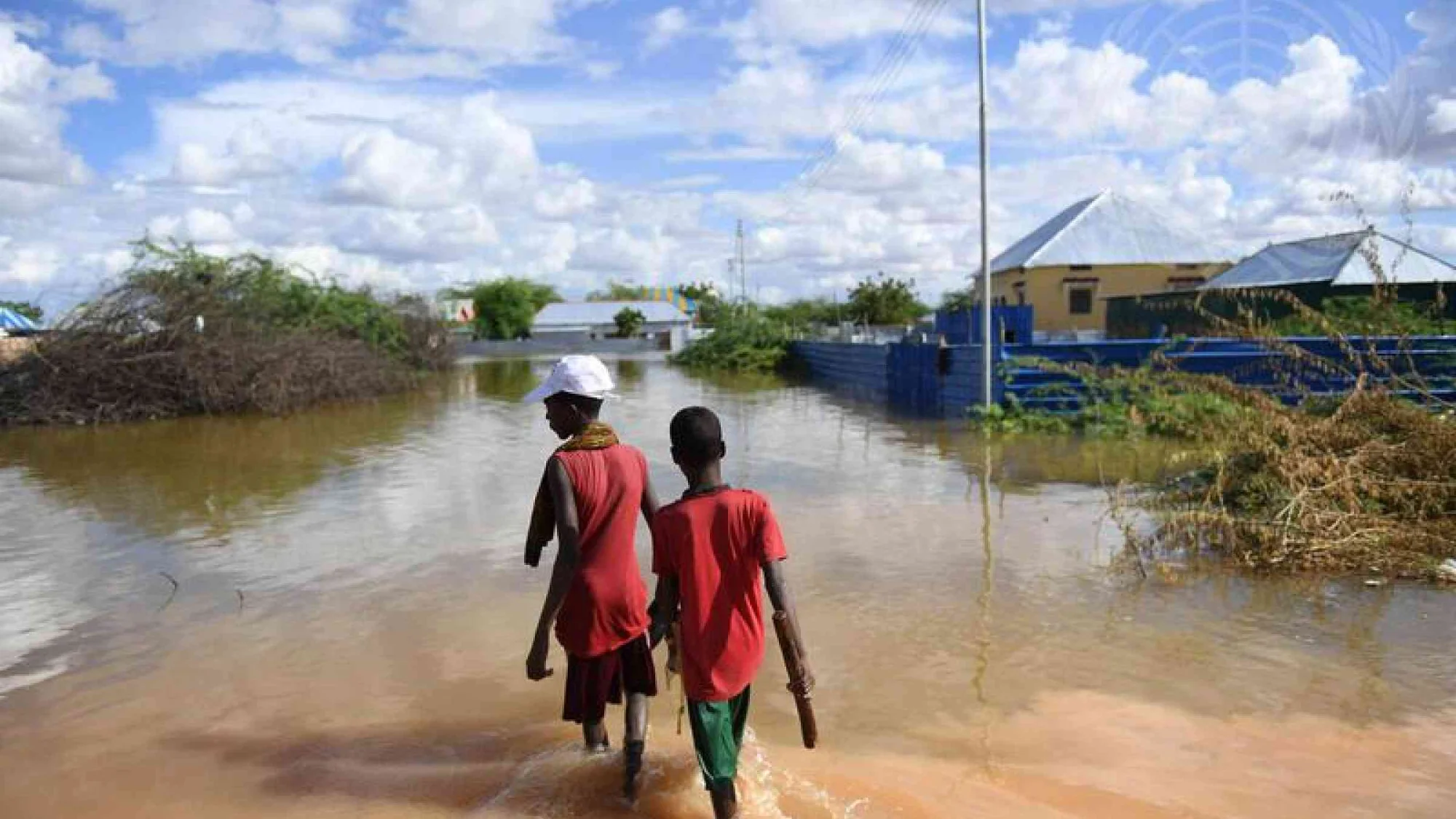
Read articleFlood and droughtFlooding has become one of the most urgent climate and urban challenges facing Mogadishu and many parts of Somalia. In 2025 and 2026, heavy…
Read article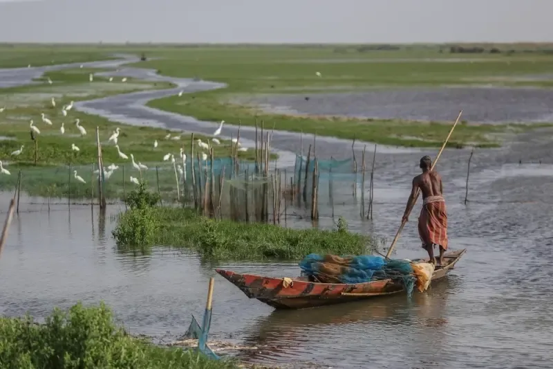 Water sector updates
Groundwater is vital for many communities. Satellites now track underground water loss, revealing declines before wells run dry. This…
Read articleExplore our website and trusted resources on water, groundwater and climate.
Contact us for GIS, hydrology, flood, drought, groundwater, coastal or environmental modeling projects.