

Flood risk & early warning
Hydrological modeling and hazard mapping for early warning systems and evacuation plans that protect lives and infrastructure.
Flood risk & early warning
We combine advanced hydrological modeling and hazard mapping to deliver real-time early warning systems and evacuation plans that protect lives and infrastructure.
Scope of services
- Flood hazard maps
- Risk assessment
- Hydrological & hydraulic flood modeling
- Flash flood early warning systems
- River basin analysis (Juba, Shabelle)
- Flood hazard & evacuation planning
Our method
Discover
We understand the problem, data availability and expected outputs.
Model
We build scientific models, maps and simulations using suitable tools.
Validate
We review data quality, calibrate results and document assumptions.
Deliver
We deliver reports, dashboards, training and decision-ready outputs.
More from Biyosahan
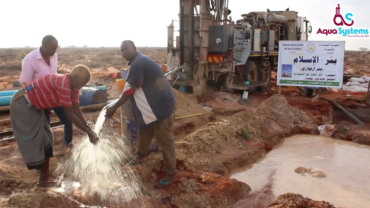
Hydrogeology & Water Resources Services
Learn more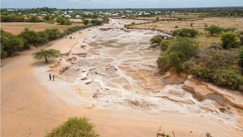
Drought & climate resilience
Drought forecasting, vulnerability mapping and water-harvesting solutions that secure water resources for the long term.
- Drought severity & vulnerability mapping
- Water budget & drought forecasting
- Climate resilience planning
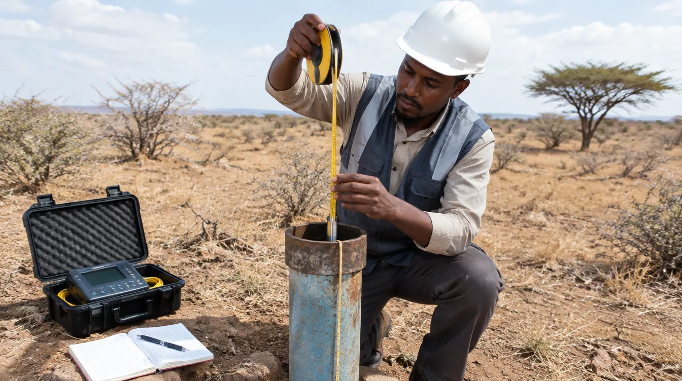
Surface & groundwater monitoring
Monitoring networks, water-quality data management and hydrogeological databases for WASH water sources.
- Groundwater level monitoring
- River/surface water monitoring systems
- Water quality data management
Find out more
Explore our website and trusted resources on water, groundwater and climate.