Our services

Water resources consulting, hydrogeological modeling, climate resilience and technical capacity building

From data to decisions — engineering models, spatial intelligence and modern digital reporting. Horn of Africa & beyond.

Hydrogeology & Water Resources Services01

Hydrogeology & Water Resources Services

𝐖𝐚𝐭𝐞𝐫 𝐬𝐮𝐩𝐩𝐥𝐲 𝐢𝐧𝐯𝐞𝐬𝐭𝐢𝐠𝐚𝐭𝐢𝐨𝐧, 𝐝𝐞𝐯𝐞𝐥𝐨𝐩𝐦𝐞𝐧𝐭, 𝐚𝐧𝐝 𝐞𝐧𝐠𝐢𝐧𝐞𝐞𝐫𝐢𝐧𝐠 𝐡𝐚𝐯𝐞 𝐛𝐞𝐜𝐨𝐦𝐞 𝐢𝐧𝐜𝐫𝐞𝐚𝐬𝐢𝐧𝐠𝐥𝐲 𝐜𝐫𝐢𝐭𝐢𝐜𝐚𝐥 𝐚𝐬 𝐜𝐨𝐦𝐩𝐞𝐭𝐢𝐭𝐢𝐨𝐧 𝐠𝐫𝐨𝐰𝐬 𝐟𝐨𝐫 𝐟𝐢𝐧𝐢𝐭𝐞 𝐰𝐚𝐭𝐞𝐫 𝐫𝐞𝐬𝐨𝐮𝐫𝐜𝐞𝐬 𝐚𝐜𝐫𝐨𝐬𝐬 𝐒𝐨𝐦𝐚𝐥𝐢𝐚, 𝐚𝐧𝐝 𝐜𝐥𝐢𝐦𝐚𝐭𝐞 𝐯𝐚𝐫𝐢𝐚𝐛𝐢𝐥𝐢𝐭𝐲 𝐢𝐧𝐭𝐞𝐧𝐬𝐢𝐟𝐢𝐞𝐬 𝐞𝐧𝐯𝐢𝐫𝐨𝐧𝐦𝐞𝐧𝐭𝐚𝐥 𝐜𝐡𝐚𝐥𝐥𝐞𝐧𝐠𝐞𝐬. 𝐓𝐡𝐞 𝐬𝐜𝐢𝐞𝐧𝐜𝐞 𝐨𝐟 𝐞𝐯𝐚𝐥𝐮𝐚𝐭𝐢𝐧𝐠 𝐩𝐨𝐭𝐞𝐧𝐭𝐢𝐚𝐥 𝐢𝐦𝐩𝐚𝐜𝐭𝐬 𝐭𝐨 𝐠𝐫𝐨𝐮𝐧𝐝𝐰𝐚𝐭𝐞𝐫 𝐚𝐧𝐝 𝐬𝐮𝐫𝐟𝐚𝐜𝐞 𝐰𝐚𝐭𝐞𝐫 𝐫𝐞𝐬𝐨𝐮𝐫𝐜𝐞𝐬 𝐢𝐬 𝐚 𝐯𝐢𝐭𝐚𝐥 𝐟𝐨𝐮𝐧𝐝𝐚𝐭𝐢𝐨𝐧 𝐟𝐨𝐫 𝐬𝐮𝐬𝐭𝐚𝐢𝐧𝐚𝐛𝐥𝐞 𝐰𝐚𝐭𝐞𝐫 𝐬𝐮𝐩𝐩𝐥𝐲 𝐝𝐞𝐯𝐞𝐥𝐨𝐩𝐦𝐞𝐧𝐭 𝐚𝐧𝐝 𝐥𝐨𝐧𝐠-𝐭𝐞𝐫𝐦 𝐜𝐨𝐦𝐦𝐮𝐧𝐢𝐭𝐲 𝐫𝐞𝐬𝐢𝐥𝐢𝐞𝐧𝐜𝐞. ​𝐁𝐢𝐲𝐨𝐬𝐚𝐡𝐚𝐧 𝐇𝐲𝐝𝐫𝐨𝐓𝐞𝐜𝐡 𝐒𝐨𝐥𝐮𝐭𝐢𝐨𝐧𝐬 𝐨𝐟𝐟𝐞𝐫𝐬 𝐜𝐨𝐦𝐩𝐫𝐞𝐡𝐞𝐧𝐬𝐢𝐯𝐞 𝐜𝐨𝐧𝐬𝐮𝐥𝐭𝐢𝐧𝐠 𝐬𝐞𝐫𝐯𝐢𝐜𝐞𝐬 𝐢𝐧 𝐞𝐯𝐞𝐫𝐲 𝐟𝐚𝐜𝐞𝐭 𝐨𝐟 𝐡𝐲𝐝𝐫𝐨𝐠𝐞𝐨𝐥𝐨𝐠𝐲 𝐚𝐧𝐝 𝐰𝐚𝐭𝐞𝐫 𝐫𝐞𝐬𝐨𝐮𝐫𝐜𝐞 𝐦𝐚𝐧𝐚𝐠𝐞𝐦𝐞𝐧𝐭. 𝐎𝐮𝐫 𝐜𝐨𝐫𝐞 𝐚𝐫𝐞𝐚𝐬 𝐨𝐟 𝐞𝐱𝐩𝐞𝐫𝐭𝐢𝐬𝐞 𝐢𝐧𝐜𝐥𝐮𝐝𝐞 𝐡𝐲𝐝𝐫𝐨𝐠𝐞𝐨𝐥𝐨𝐠𝐢𝐜 𝐚𝐧𝐝 𝐠𝐫𝐨𝐮𝐧𝐝𝐰𝐚𝐭𝐞𝐫 𝐫𝐞𝐬𝐨𝐮𝐫𝐜𝐞 𝐚𝐬𝐬𝐞𝐬𝐬𝐦𝐞𝐧𝐭𝐬, 𝐞𝐧𝐯𝐢𝐫𝐨𝐧𝐦𝐞𝐧𝐭𝐚𝐥 𝐢𝐧𝐯𝐞𝐬𝐭𝐢𝐠𝐚𝐭𝐢𝐨𝐧𝐬, 𝐚𝐧𝐝 𝐚𝐝𝐯𝐚𝐧𝐜𝐞𝐝 𝐧𝐮𝐦𝐞𝐫𝐢𝐜𝐚𝐥 𝐠𝐫𝐨𝐮𝐧𝐝𝐰𝐚𝐭𝐞𝐫 𝐟𝐥𝐨𝐰 𝐦𝐨𝐝𝐞𝐥𝐢𝐧𝐠. 𝐖𝐞 𝐮𝐭𝐢𝐥𝐢𝐳𝐞 𝐬𝐭𝐚𝐭𝐞-𝐨𝐟-𝐭𝐡𝐞-𝐚𝐫𝐭 𝐭𝐞𝐜𝐡𝐧𝐢𝐜𝐚𝐥 𝐭𝐨𝐨𝐥𝐬 𝐚𝐧𝐝 𝐩𝐥𝐚𝐭𝐟𝐨𝐫𝐦𝐬 𝐭𝐨 𝐚𝐜𝐜𝐮𝐫𝐚𝐭𝐞𝐥𝐲 𝐚𝐧𝐝 𝐜𝐨𝐬𝐭-𝐞𝐟𝐟𝐞𝐜𝐭𝐢𝐯𝐞𝐥𝐲 𝐜𝐡𝐚𝐫𝐚𝐜𝐭𝐞𝐫𝐢𝐳𝐞 𝐚𝐪𝐮𝐢𝐟𝐞𝐫 𝐬𝐲𝐬𝐭𝐞𝐦𝐬, 𝐞𝐯𝐚𝐥𝐮𝐚𝐭𝐞 𝐰𝐚𝐭𝐞𝐫 𝐚𝐯𝐚𝐢𝐥𝐚𝐛𝐢𝐥𝐢𝐭𝐲, 𝐚𝐧𝐝 𝐝𝐞𝐬𝐢𝐠𝐧 𝐢𝐧𝐧𝐨𝐯𝐚𝐭𝐢𝐯𝐞 𝐰𝐚𝐭𝐞𝐫 𝐦𝐚𝐧𝐚𝐠𝐞𝐦𝐞𝐧𝐭 𝐚𝐩𝐩𝐫𝐨𝐚𝐜𝐡𝐞𝐬 𝐭𝐚𝐢𝐥𝐨𝐫𝐞𝐝 𝐭𝐨 𝐫𝐞𝐠𝐢𝐨𝐧𝐚𝐥 𝐡𝐲𝐝𝐫𝐨𝐠𝐞𝐨𝐥𝐨𝐠𝐢𝐜𝐚𝐥 𝐜𝐨𝐧𝐝𝐢𝐭𝐢𝐨𝐧𝐬. ​𝐎𝐮𝐫 𝐭𝐞𝐚𝐦 𝐨𝐟 𝐡𝐲𝐝𝐫𝐨𝐠𝐞𝐨𝐥𝐨𝐠𝐢𝐬𝐭𝐬 𝐚𝐧𝐝 𝐭𝐞𝐜𝐡𝐧𝐢𝐜𝐚𝐥 𝐬𝐩𝐞𝐜𝐢𝐚𝐥𝐢𝐬𝐭𝐬 𝐚𝐩𝐩𝐥𝐢𝐞𝐬 𝐫𝐢𝐠𝐨𝐫𝐨𝐮𝐬 𝐬𝐜𝐢𝐞𝐧𝐭𝐢𝐟𝐢𝐜 𝐚𝐧𝐚𝐥𝐲𝐬𝐢𝐬 𝐭𝐨 𝐮𝐧𝐝𝐞𝐫𝐬𝐭𝐚𝐧𝐝 𝐜𝐨𝐦𝐩𝐥𝐞𝐱 𝐠𝐫𝐨𝐮𝐧𝐝𝐰𝐚𝐭𝐞𝐫-𝐫𝐞𝐥𝐚𝐭𝐞𝐝 𝐢𝐬𝐬𝐮𝐞𝐬—𝐞𝐧𝐬𝐮𝐫𝐢𝐧𝐠 𝐭𝐡𝐞 𝐫𝐞𝐥𝐢𝐚𝐛𝐥𝐞 𝐪𝐮𝐚𝐧𝐭𝐢𝐭𝐲, 𝐪𝐮𝐚𝐥𝐢𝐭𝐲, 𝐚𝐧𝐝 𝐬𝐮𝐬𝐭𝐚𝐢𝐧𝐚𝐛𝐥𝐞 𝐚𝐯𝐚𝐢𝐥𝐚𝐛𝐢𝐥𝐢𝐭𝐲 𝐨𝐟 𝐰𝐚𝐭𝐞𝐫 𝐫𝐞𝐬𝐨𝐮𝐫𝐜𝐞𝐬 𝐟𝐨𝐫 𝐜𝐨𝐦𝐦𝐮𝐧𝐢𝐭𝐢𝐞𝐬, 𝐚𝐠𝐫𝐢𝐜𝐮𝐥𝐭𝐮𝐫𝐚𝐥 𝐢𝐧𝐢𝐭𝐢𝐚𝐭𝐢𝐯𝐞𝐬, 𝐚𝐧𝐝 𝐝𝐞𝐯𝐞𝐥𝐨𝐩𝐦𝐞𝐧𝐭 𝐩𝐫𝐨𝐣𝐞𝐜𝐭𝐬. **Water Supply Development** ​— Water supply feasibility analysis — Lineament analysis to delineate bedrock fractures — Subsurface investigation to delineate shallow aquifers — Surface and borehole geophysics to delineate well targets — Geologic mapping — Grain size analysis and well-screen design — Drilling supervision and hydrogeologic logging — Well rehabilitation and development — Permitting for construction and withdrawal **Water Supply Investigation/Assessment** —Well performance and safe yield testing (pumping tests) — Operational system testing — Water balance assessment, demand calculation and recharge analysis — Hydrogeologic research and GIS mapping — Hydrogeologic-impact assessment — Sensitive receptor survey — Watershed analysis for surface water supplies — Wetland hydrology studies — Water-quality testing — Water conservation evaluation and planning — Pond hydrology studies — Pond siting and design — Pond bathymetry surveys and dredging analysis — Environmental testing for disposition of pond dredge spoils — Groundwater and surface water modeling **Water Supply Engineering** ​ — Stormwater drainage analysis and modeling — Design plans and specifications for water well, pump, storage and distribution — Water system inspection and performance evaluation — Construction permitting, supervision and inspection — Bid-procurement documents and subcontracting — Dam inspection and engineering — Flood impact analysis and mitigation — Design and monitoring of erosion and sedimentation controls
    Drought & climate resilience02
    Water Risk & Resilience

    Drought & climate resilience

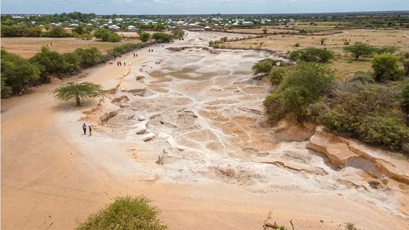
    We deliver advanced drought forecasting, vulnerability mapping, and water harvesting solutions to secure critical water resources and build long-term climate resilience across Sub-Saharan regions.

    • Drought severity & vulnerability mapping
    • Water budget & drought forecasting
    • Climate resilience planning
    • Water harvesting feasibility (Sub-Saharan Africa)
    • Agro-pastoral water security assessment
    Flood risk & early warning03
    Water Risk & Resilience

    Flood risk & early warning

    We combine advanced hydrological modeling and hazard mapping to deliver real-time early warning systems and evacuation plans that protect lives and infrastructure.

    • Flood hazard maps
    • Risk assessment
    • Hydrological & hydraulic flood modeling
    • Flash flood early warning systems
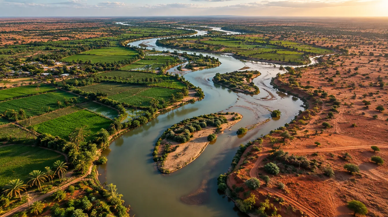
    • River basin analysis (Juba, Shabelle)
    • Flood hazard & evacuation planning
    Surface & groundwater monitoring04
    Water Resources

    Surface & groundwater monitoring

    We provide technical consulting to design automated surface and groundwater monitoring networks, manage water quality data, and build GIS hydrogeological databases to secure vital WASH water sources.

    • Groundwater level monitoring
    • River/surface water monitoring systems
    • Water quality data management
    • Hydrogeological mapping & database development
    • WASH water source monitoring support
    GIS consulting05
    Water Resources

    GIS consulting

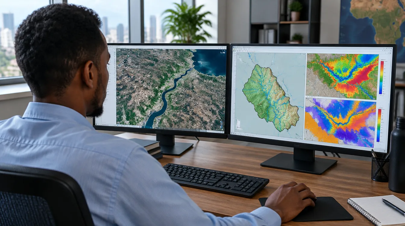
    We deliver expert hydrogeological mapping, satellite imagery analysis, and geodatabase design to create decision-support dashboards and manage critical resource planning and irrigation infrastructure.

    • Land-cover analysis
    • Environmental mapping
    • Resource planning
    • Geodatabase development
    Water project consulting06
    Water Resources

    Water project consulting

    We provide comprehensive technical consulting, including feasibility studies, proposal development, and detailed project design. Our team ensures project success through rigorous technical supervision and robust monitoring and evaluation frameworks.

    • Feasibility studies
    • Technical proposal development
    • Terms of Reference (ToR) preparation
    • Project design and technical supervision
    • Monitoring and evaluation frameworks
    Capacity building & professional training07
    Capacity Building

    Capacity building & professional training

    Biyosahan HydroTech Solutions provides specialized training in groundwater modeling, water resources management, and climate resilience for governments, NGOs, universities, and industry professionals.

    • Pumping tests interpretation
    • Applied groundwater flow modeling (GW Vistas & MODFLOW 6)
    • Groundwater modeling enterprise strategies
    • Model calibration and parameter estimation (PEST & ModelMuse)
    • Applied groundwater transport modeling
    • Water-harvesting techniques in Sub-Saharan Africa
    Hydrogeological & Geophysical Investigations08

    Hydrogeological & Geophysical Investigations

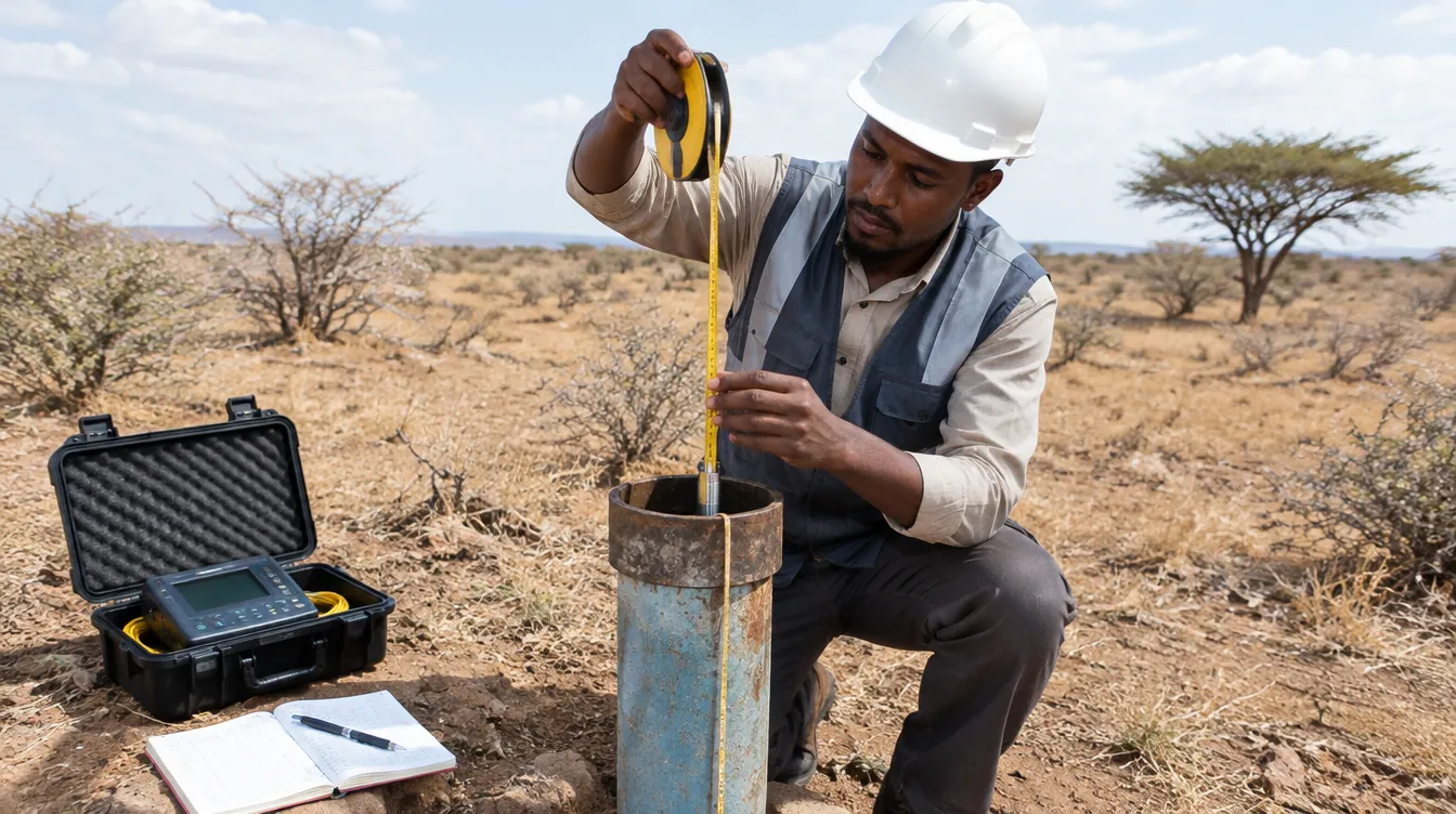
    Advanced pre-drilling electrical resistivity surveys and geological mapping to identify high-yield groundwater potential zones and minimize dry-hole risk

      Borehole Drilling & Construction09
      Water Risk & Resilience

      Borehole Drilling & Construction

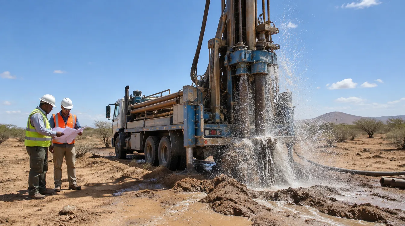
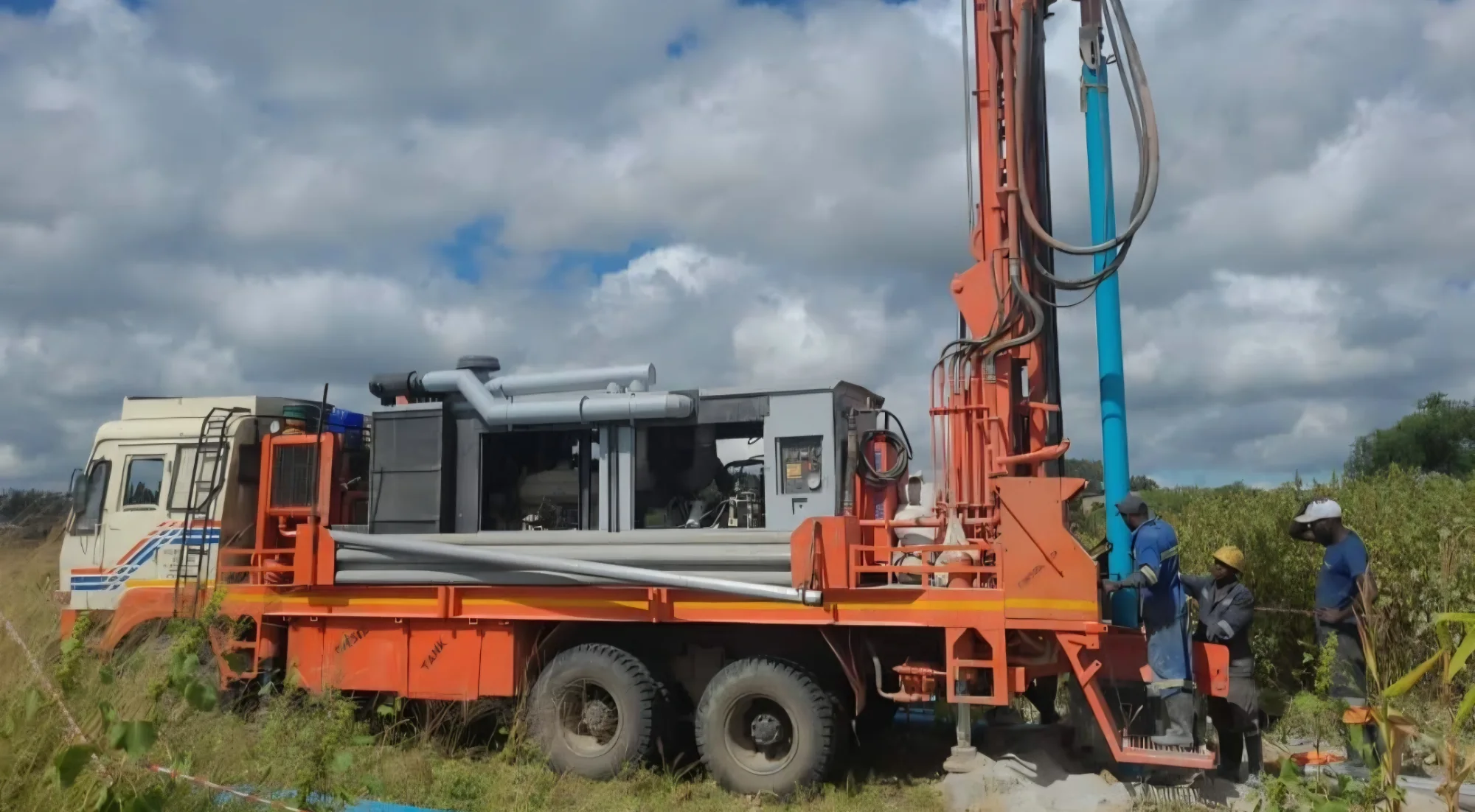
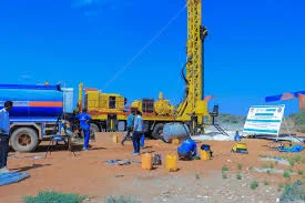
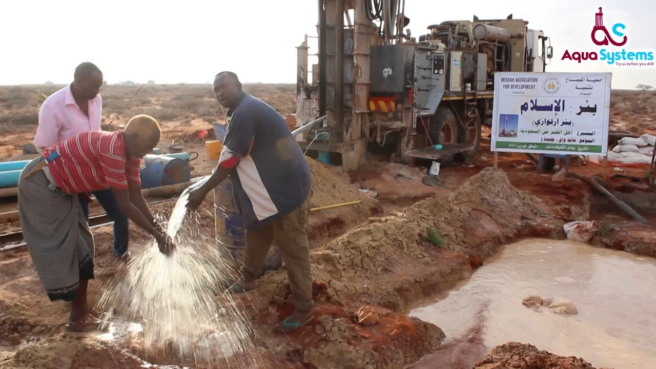
      State-of-the-art mud rotary, air rotary, and air percussion drilling techniques capable of reaching deep aquifers (up to 350m+) with optimal casing and gravel packing. ​Alignment: Built to withstand arid conditions across Federal Member States.

        Borehole Rehabilitation & Upgrading10
        Water Risk & Resilience

        Borehole Rehabilitation & Upgrading

        Restoring dysfunctional or silted boreholes, flushing, casing repairs, and upgrading traditional hand-dug wells to secure long-term community access.

          Start a project

          Let’s build a smarter water future

          Contact us for GIS, hydrology, flood, drought, groundwater, coastal or environmental modeling projects.